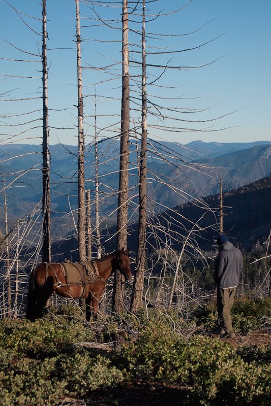
Eric Lubell making a new friend before the hike down to the Chetco.
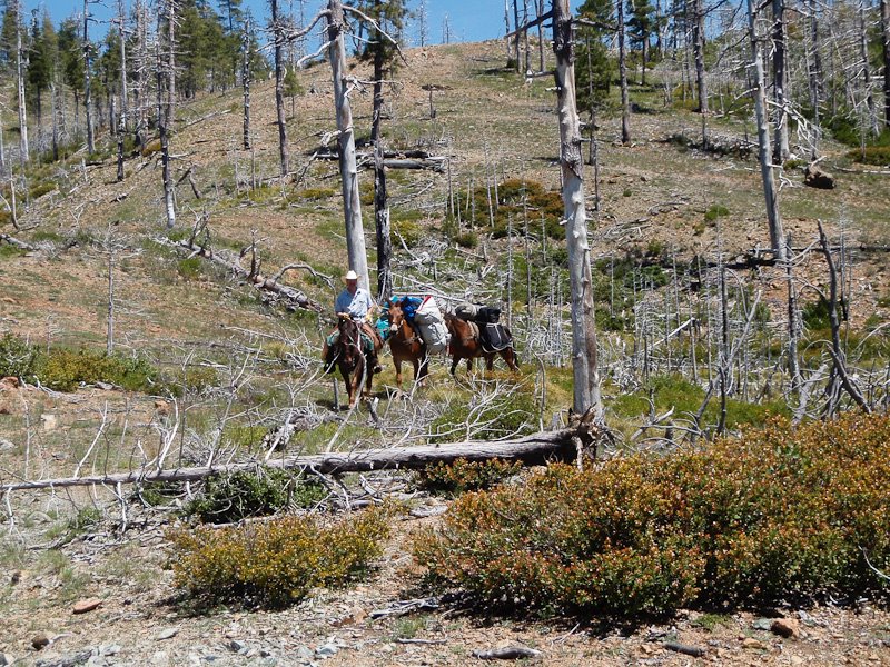
Mike's pack train, hauling in our boats and gear.
Photo Eric Lubell
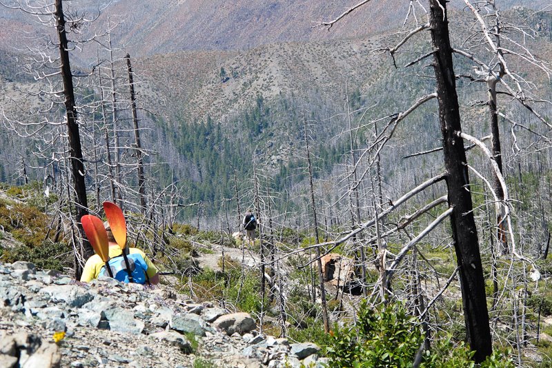
Dropping into the canyon for a three thousand foot descent to the Chetco.
Photo by Doug Soule
The Chetco offers some truly great wilderness whitewater.
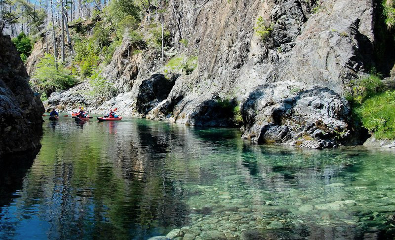
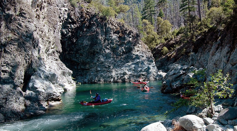
From Curtis creek, the three miles of river to Slide Creek offer some basic boulder bar class III rapids and a float through the stunning "Magic Gorge"
where deep emerald pools and fresh springs grace the canyon. This is the only part of the run accessible by trail.
Many more magic gorges await below.
Entering the Magic Gorge
The author, boofin' it..
Photo by Bill Tuthill
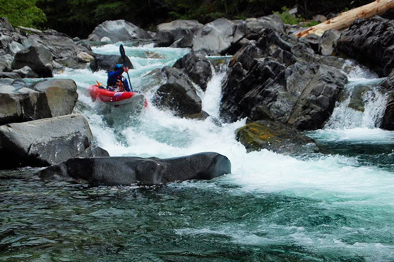
More great rapids downstream
Photo by Bill Tuthill
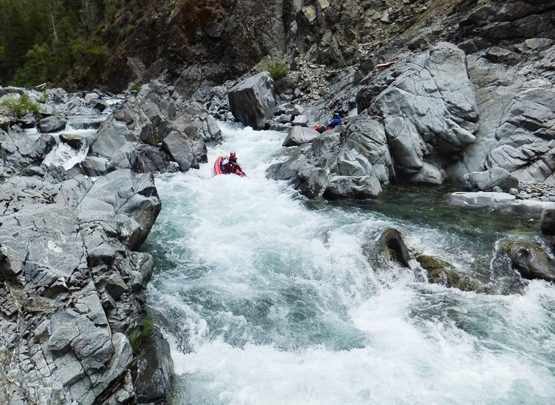
The big class V that we portaged.
Photo by Doug Soule
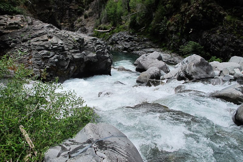
At Slide Creek, the Chetco solidifies and changes character.
Huge boulders begin to fill the river bed, and the gradient steepens.
Slowly, the Biscuit Fire scars fade, gorge walls climb out of the water,
and lush forested canyon takes firm hold.
Many class IV and IV+ rapids await in this gorge.
Take your time, scout, and enjoy the great rapids.
Portages are almost always easy river level affairs at lower levels.
Rapids above Taggart Bar.
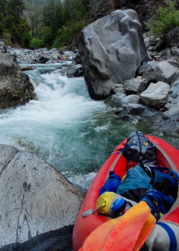
Taggart Bar offers a good first camp,
and nicely breaks up this upper gorge if you launched above Slide Creek.
Below Taggart Bar, more class IV awaits, as the drops keep coming in quick succession.
There are very few other camps along this section.
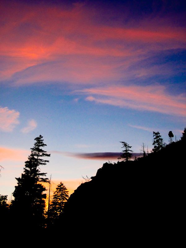
Sunset at Taggart Bar
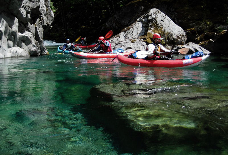
The water was amazingly clear..
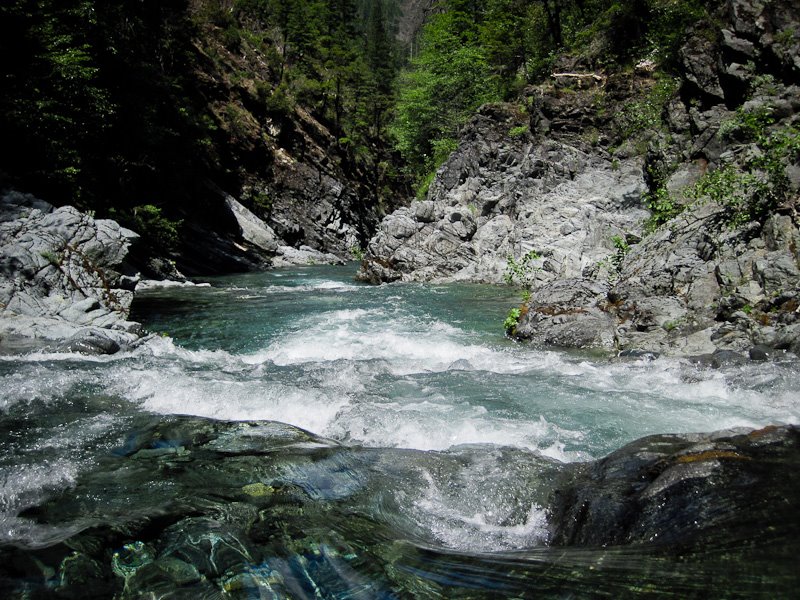
More rapids above camp three
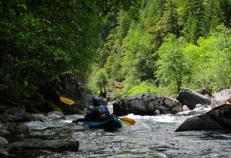
Eventually, Sluice Creek joins the Chetco and the river eases a notch.
There is still class IV, but most rapids are boat scoutable class III and the rapids are not as densely packed as in the upper gorge.
This section has many lovely camps nestled in the trees and on riverside beaches. This is the heart of the Chetco, wild, pristine, truly lovely.
Relaxing below Sluice Creek
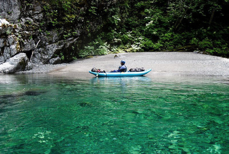
We had one near-miss above camp 3, one of the team went into a boulder sieve and
ended up pinning and swimming through the sieve. Luckily he made it out the other side ok..
A scary moment above camp 3.. About to swim through a boulder sieve.
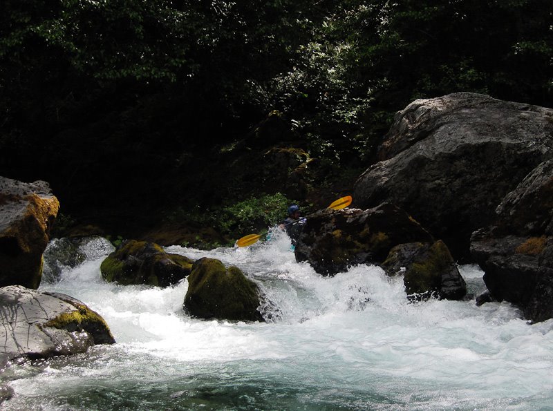
The river has a few more pools and becomes mostly class III leading up to Boulder Creek.
The rapids are still great, formed by huge boulders and full of tight chutes and blind slots.
A great camp at Boulder Creek marks the exit from the Wilderness area.
Camp Four, above Boulder Creek
Photo by Doug Soule
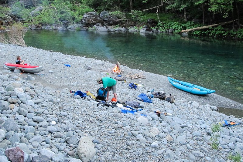
Below Boulder Creek, the canyon begins to open up.
There are still several great III and IV rapids in this lower section, ending on the corner above the Steel Bridge.
There are also several camp beaches down here, though some are private Tolman Ranch holdings.
This lower section is never too low to run, being spring fed.
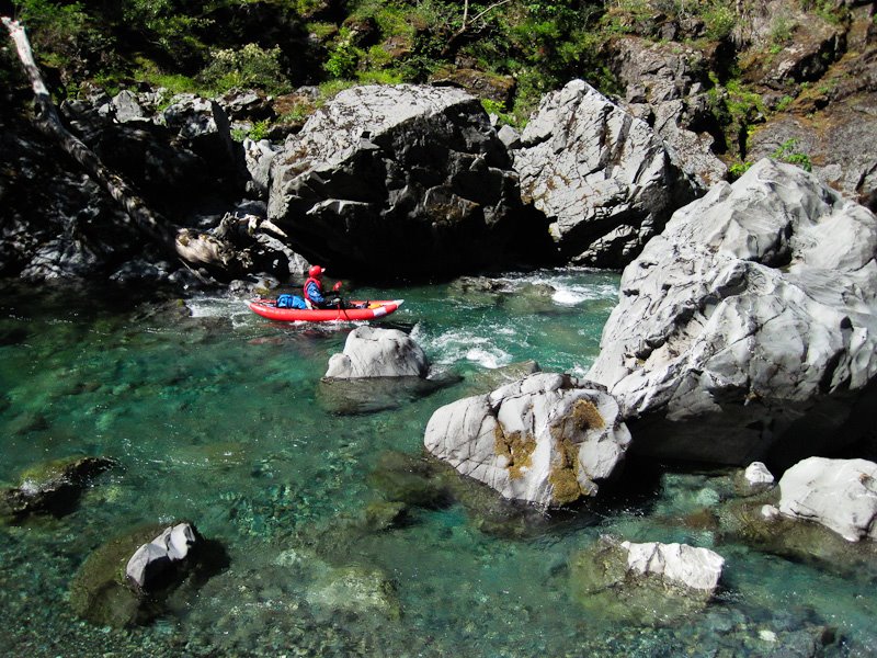
Bill Tuthill, enjoying the scenery.
Photo by Doug Soule
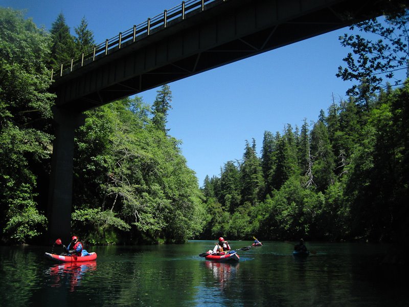
The takeout at the Steel Bridge is best accessed via the boater trail on river left below the bridge,
which is the normal putin for the class V Lower Chetco Gorge.
The Steel Bridge takeout.

Overall, we found our trip on the Chetco to be surprisingly free from wood.
Camps were not always available, but there were many nice beaches at low flow, particularly in the lower canyons.
Scouting and portaging was generally quite easy, and often necessary due to the huge boulders comprising most rapids.
The horsepack outfitter we used for the trip is Mike Pierce. He can be reached at clrh20@hughes.net or at 541-660-0761.
Details of the hike, as logged by Jason Shappart
Starts at about 4,200 feet elevation at the Babyfoot Lake trailhead.
High Point is at about 4,800 feet elevation.
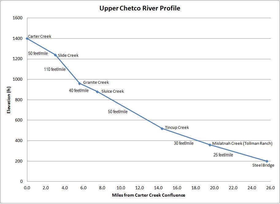
Carter Creek confluence where we put-in is at about 1,400 feet elevation.
The last 2 miles drops about 2,000 feet in elevation down to Carter Creek confluence after climbing then dropping over the saddle from Baily Mt. Cabin.
Total trail distance from Babyfoot Lake Trailhead to Carter Creek is about 9.0 miles the way we went.
The total distance we boated from Carter Creek to the Steel Bridge is about 25.6 miles.
Gradient profile of the Upper Chetco, prepared by Jason Shappart
