
January 4, 2004
By Shawn Haggin
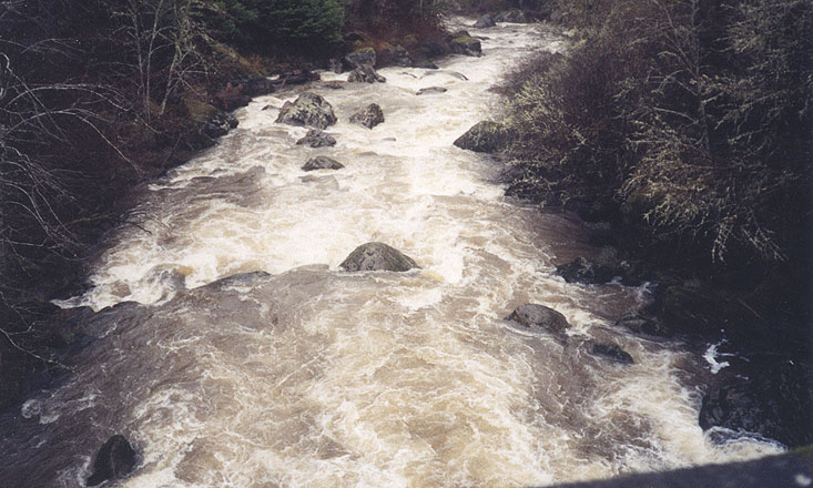
With a little scrambling below the turnout where the road is single lane, some locals made a ladder so boaters could view the water up close. The gauge is painted on the North, down stream side of the Sitkum Bridge. This report was run at l.5 ft. There is no telemetry gauge on E.F. Coquille. However a steady graph of 1800 cfs on the North Fork yielded 1.5 ft. If the NF is rising choose something else. I would recommend against running the Full Monty during or the day after a storm. The watershed is steep with a large agricultural flat area before Brewster canyon. Put in on the upstream left side of Sitkum Bridge.
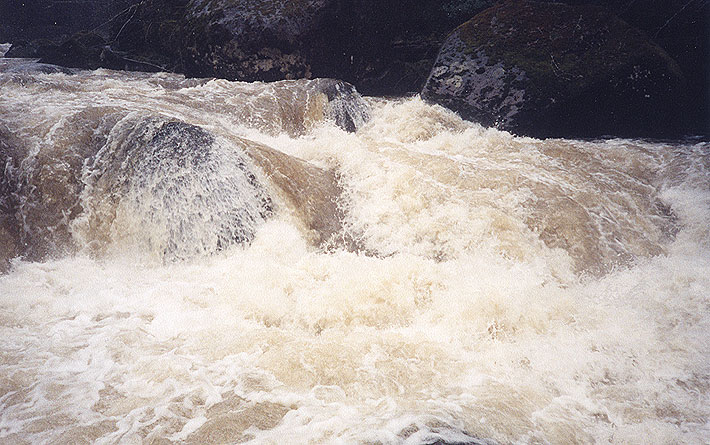
The Sitkum section is first. Main hazard is the airplane turn, ride it high and boof hard. If this is more than you want to do, take out now on the right side, it is a road access. You just did the warm up. After a left turn there are 2 ledges, where the water seems to “squeeze” through. There are several large rocks and a couple of large size boulders in the creek. Run the ledges holding left of center is good line. The big horizon line is “Triple Threat.” As the name implies, 3 slots right and middle are bad, go left. Catch the eddy on the boulder in middle of the creek just above the drop then ferry to the left around the backside of the left boulder.
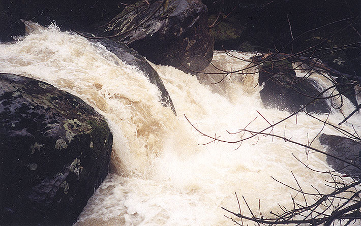
When doing the Triple Threat drop get ready for Zig Zag. Run it on the right as much as possible. Safety should be set here because the water is very pushy to the left side, which has an undercut rock that has pin potential.
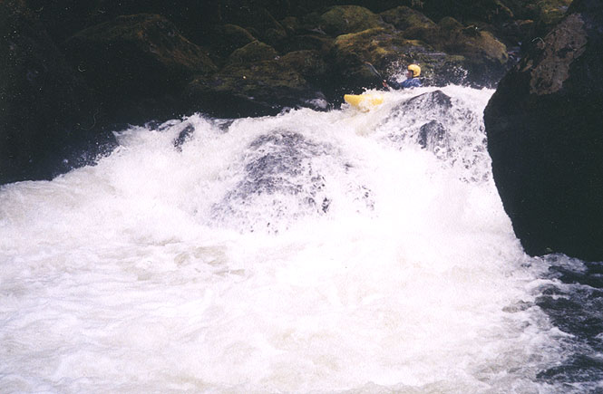
Raw is the next drop, run it center on the left side of green water. If you are still in recovery from Zig Zag go right. There is a scrappy ledge on the left. The sneak route. Wingman has a curler that pushes right, take the centerline and get ready for The Nasty.
At 6” on the gauge and lower, scout these last two ledges, they get bony and technical. The last is The Nasty. If you haven’t run this you should scout it, as this drop has eddies on both sides. At 1.5 run the center green, as soon as you go over the lip switch hips to lean right. This drop likes to throw you down in front of the ledge within a ledge on the right side, choose your line carefully.
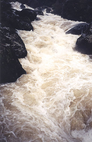
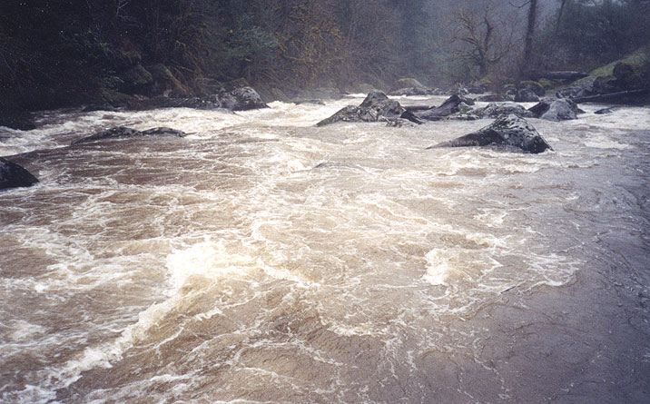
The takeout is right in front of you on river right, be very careful to make the take out. If you miss the take out STOP if you can! If you can’t, swim for shore fast. There is a natural boulder flume that ends with a class VI waterfall. It is rumored that someone has run the fish ladder section. It scares me. I threw a log 1’ diameter, 4’ long log into the waterfall and it didn’t come out. If paddlers are ambitions enough to rappel down to the river from the road for the lower section, it rewards those with fun Class III+, IV, finishing out with Class II. A very enjoyable section of river.
Access, flows, and other beta:
From Coos Bay, South on Hwy 42. Left on Myrtle Point-Sitkum Rd. Approximately 1 mile south of Norway. Continue on Myrtle Point-Sitkum Road about 10 miles to Sitkum Bridge.
From Roseburg, take Hwy 42 to Tenmile. Right on Reston Road. At the Reston Junction turn left on Coos Bay Wagon road, continue on Coos Bay Wagon Road until Sitkum Bridge. The put in is at the Bridge and take out is the turn out just before the road narrows to single lane.
The gauge is painted on the North, down stream side of the Sitkum Bridge. This report was run at 1.5 ft. There is no telemetry gauge on E.F. Coquille. However a steady graph of 1800 cfs on the North Fork yielded 1.5 ft. If the NF is rising choose something else. I would recommend against running the Full Monty during or the day after a storm. The watershed is steep with a large agricultural flat area before Brewster canyon. Put in on the upstream left side of Sitkum Bridge.
Brewster Canyon saw exploratory descents in the early nineties, most notably by Eric Brown out of Corvallis, who is rumored to have done a solo descent. It is not known if Eric's trip was first time anyone ran the canyon, or whether he ran the class six falls below the take-out.