
Brice Creek is probably the most well known creek in Oregon, and for good
reason. (It also bears the dubious distinction of being one of the most-swum creeks in Oregon, but we'll get to that in a second..) Easy access, nice scenery, and (usually) reliable rainfall allow a relatively large number of boaters to paddle/swim this stream all winter long.
There are two sections of Brice Creek, each with it's own distinct personality. Upper Brice is nice and steep (215 fpm) and gives a nice ride through continuous boulder gardens. Lower Brice is easier, more pool drop, with some really fun ledges.
That's at regular flows.
At high water this creek is very demanding. Upper Brice becomes a freight train ride down through one gigantic rapid and the ledges on lower Brice become nightmarish drowning machines. One local expert was mercilessly recirculated in Lower Trestle at high water for several minutes, and then swam down through Pogo; when they finally got him out of the water he was barely alive... Don't let this happen to you!
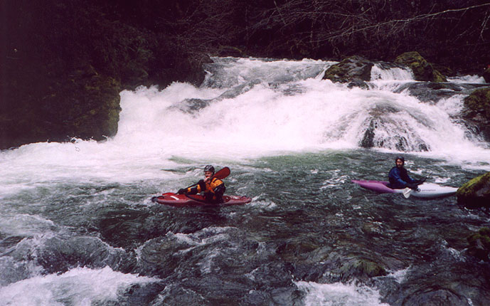
Lower Brice Creek starts out mellow, with some nice drops and beautiful scenery. Keep your eyes peeled for the old growth timber mixed in with the younger trees; this is a wonderfully scenic float!
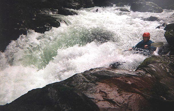
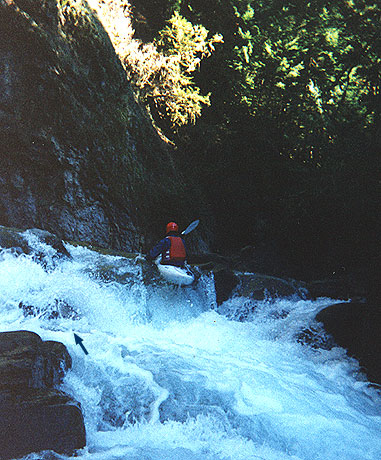
The first major rapid is Upper Trestle. This U shaped ledge is a fairly
typical Brice Creek drop; you might cruise it without getting your head
wet, or you might miss your boof and go for a swim you won't soon forget!
We fondly refer to the hole in Upper Trestle as the 'Three boat hole',
and here's
why...
Basically, you run Upper Trestle by sliding down the left side to avoid the hole. The ledge pours into a small 'room', with a narrow exit on the left and a siphon formed by a boulder against the wall on the right. If you blunder into the fold in the middle of the 'U', expect a thrashing!
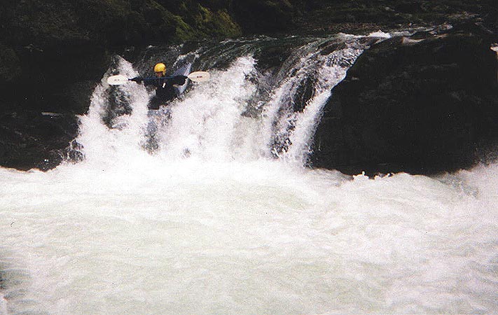
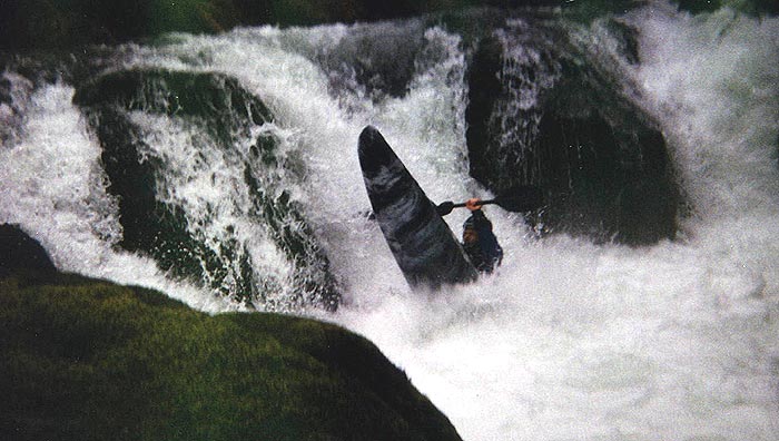
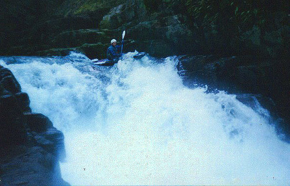
The line at Laura's is tricky- you must slide down the narrow left shelf to avoid the hole, but you can't go too far left or you will hit a submerged rock outcropping and flip, dropping headfirst into the hole! (This happens with chilling regularity, so be SURE you put someone with a rope here!)
In order to avoid the outcropping, boaters end up sliding down the shelf, leaning out over the hole on their way down...
This is definitely one of the most thrilling rapids in the Valley!
Flow Information:
Flows on this creek are notoriously difficult to predict, so here are a few links to help you get there when the water is right. (As a reference, most of the photos on this page were shot when the inflow to Dorena was at 2100 cfs.)
First of all, Dorena Reservoir inflow should be between 1200 & 3000 CFS.
This number can be higher in the winter, lower during spring snowmelt season. An inflow of ~2200 cfs usually seems to mean optimal flows. It's also a good idea to look at the rainfall gauge at either Dorena Reservoir or Sugarloaf mountain. Unless its been raining regularly, or the weather is hot and snow is melting, you probably need an inch of rain in the last 24 hours.
The paddlers gauge is on the downstream, river-left, pillar of the bridge you cross ~1.5 miles downstream of the take-out at Cedar Creek Campground. (This is also the start of the Brice Creek Trail, with a large parking area alongside the road.) The gauge should be between 0 and 2 feet; Zero is rather easy and very shallow in many places. 1 to 1.5 feet is optimal for running Brice top to bottom. Below 1 foot the upper section is usually too low, and above 1.5 feet the lower section develops some rather nasty hydraulics (The 'Drowning Machines' described above). If that gauge is at 2+ feet most people will go elsewhere (Layng Creek, Row River, or Brice Creek below Cedar Creek) for big water class III-IV runs.
(Special Thanks to Steve Stuckmeyer for providing flow beta and links!)