Class: IV-IV+
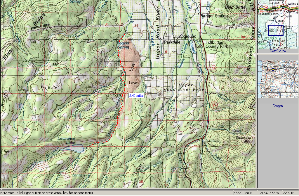
Location: Hood River Basin, Oregon
Season: Spring snowmelt
Gradient: 226 fpm
Character: Low volume technical creeking. Several moderately steep sections with an abundance of blind corners that are likely to contain wood.
The put-in was reached by hiking down the Coe Branch of the Hood to the confluence of the Middle Fork.
From the confluence the Upper Middle Fork started off fast. The initial section was narrow, steep, and technical with very few eddies.
Garry T. in the middle of the Initial Section.
After about 0.25-0.5 miles the narrow river bed spread out to about fifty feet wide and proceeded through a forest for another quarter mile or so.
Eric Arlington paddling through the forested section of the Middle Fork.
The forested section ended abruptly at a log jam and the devastation from the last big flood was apparent downstream. Here the river again channelized, the gradient picked up, and the newly formed river bed could be heard moving downstream.
Looking into the devastation.
The first quarter mile below the forested section contained numerous strainers, so we shouldered our boats and started walking. Below this point the blind corners increased in frequency and our strategy became: catch an eddy, get out and scout, carry our boats past the wood. Despite several portages there were a few fun sections to run.
Garry T. running a fun drop.
Will running a longer section free of wood.
On our sixth portage we seal launched in from the bottom of a log jam. When Will hit the water his skirt imploded and he was forced to swim. I 'chased' his boat while Garry helped him to shore. I paddled for a few hundred yards and then eddied out above yet another blind corner. I got out as fast as I could, shouldered my boat, and walked past the wood that Will’s boat was probing. His boat made it through the strainer, then pinned to a rock several hundred yards downstream.
We quickly set up a Z-drag and managed to clip a rope to Will's boat. Unfortunately, the grab loop wasn’t as strong as the rope, it tore away from the kayak. That forced us to start over, and two hours later Will’s boat was free after some creative rope work.
Will reunited with his kayak minus one grab loop.
Looking upstream.
After a relatively wood free section the run gorged up and we started hiking more than paddling. At least three times we forced to rope the boats across the river in order to hike past wood further downstream.
Starting to get tired and sore in the gorge.
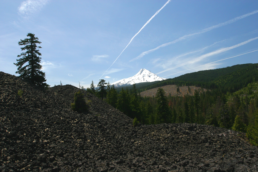
Towards the end of the run we had reverted to the hiking-only option. Around 8:30 p.m. ( we put-on at 10:00 a.m. ) light was running out and we came to a point where we couldn’t hike downstream anymore. All that could be seen downstream was a river-wide strainer just above a sharp river bend. At this point we decided to hike up and out across a lava field we had seen earlier at the take-out. By 9:30 p.m. we had made it to the car without having to turn on our head lamps.
On Sunday we returned to recover our gear. Garry and Will were kind enough to let me hike back to the top of the lava field and take a few pictures while they roped the boats across the Middle Fork for the long hike out.
A view of the kayaks on Sunday from atop the lava field.
Mt. Hood from the lava field.
Level on the East Fork Hood @ Tucker Bridge was 7.0-7.25 feet on May 17th.
Local Ron Reynier saw this trip report and had this to add: "That
section experienced one of Mt. Hood's largest debris flows a few years back, not just a flood. The
pictures really show how it scoured the valley. There was a good video out showing a 30' wall of
water, mud, rock and trees that took out the Red Hill bridge at the take out. The last time we ran ran it
before the flood it was narrow and lined with forest the entire way."
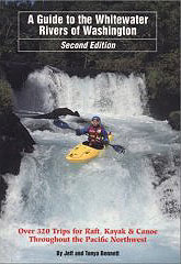
For directions to the put-in and take-out, as well as other info, pick up the second edition of the bible, Jeff Bennetts 'A guide to the Whitewater Rivers of Washington', a book no serious Northwest paddler should be without. You can pick this book up at your local paddling shop, or on amazon.com.
Eric Arlington warming up his shoulder for the day.
Photo by Chris Arnold
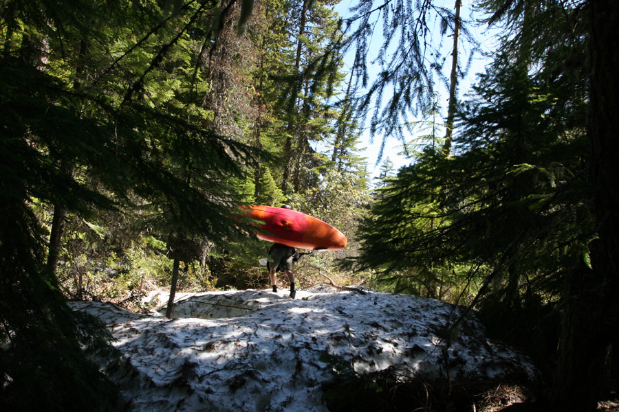
Photo by Chris Arnold
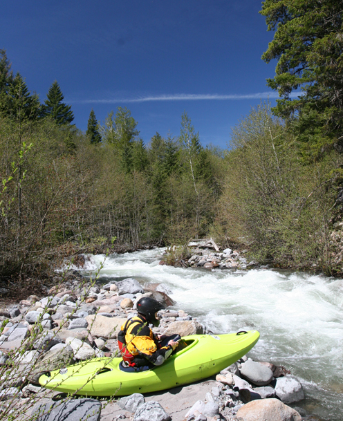
Photo by Chris Arnold
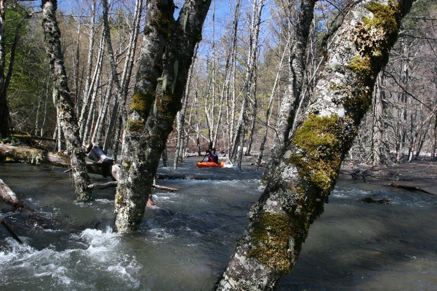
Photo by Chris Arnold
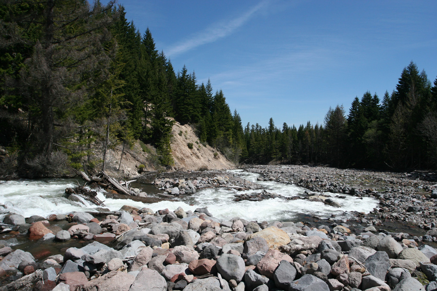
Photo by Chris Arnold
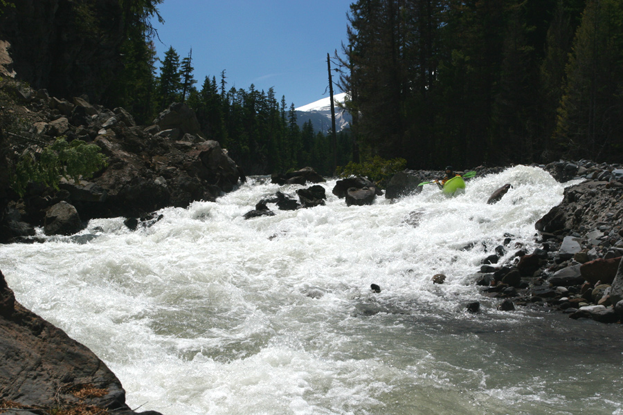
Photo by Chris Arnold
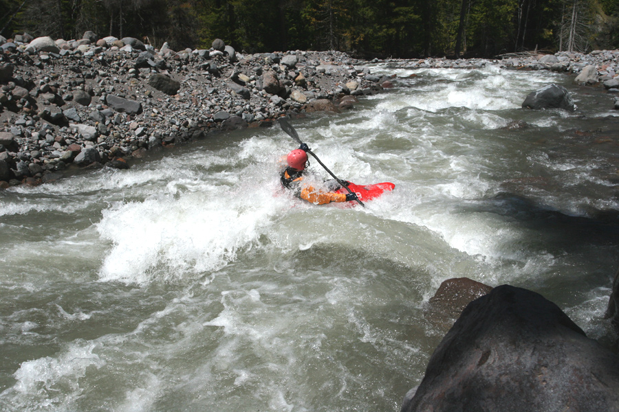
Photo by Chris Arnold
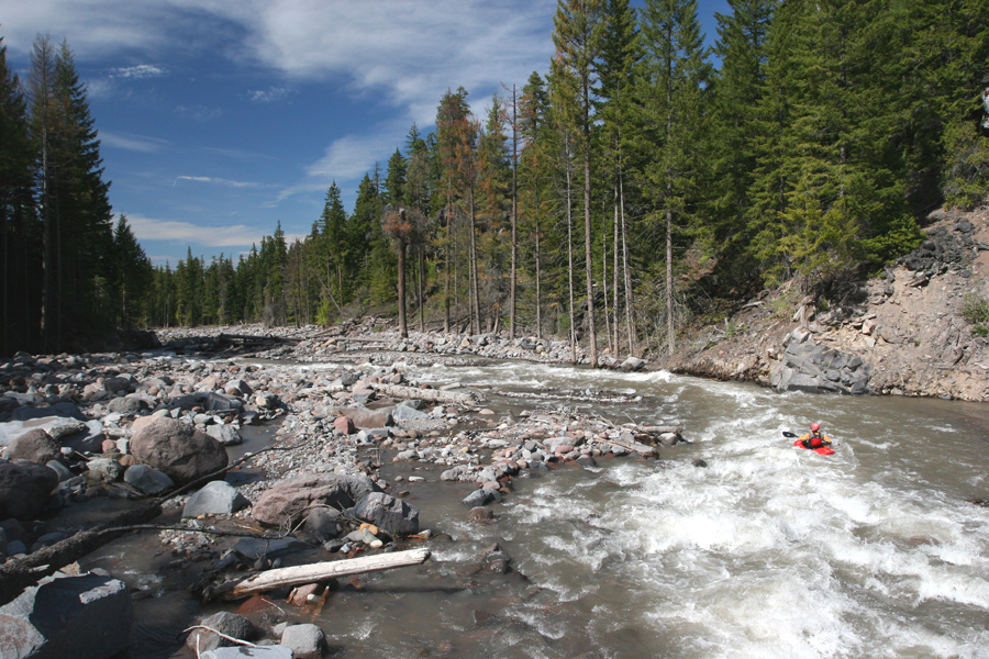
Photo by Chris Arnold
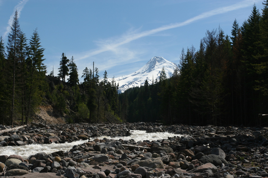
Photo by Chris Arnold
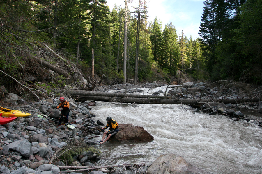
Photo by Chris Arnold
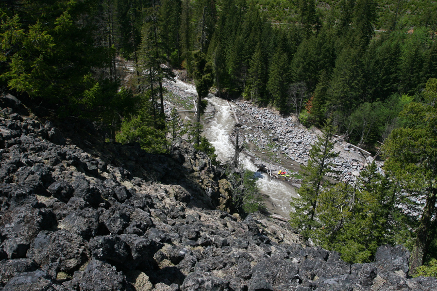
Photo by Chris Arnold

A video clip of the Middle Fork Hood during the 2006
flood, just after Red Hill bridge was destroyed.
A video clip of the Middle Fork Hood during the 2006
flood, where the riverbed moved a quarter mile into Rogers Creek.