Jackson Creek Gorge

Jackson Creek Gorge
Jackson Creek is a tributary of the South Umpqua and flows through the Umpqua National Forest. The upper Gorge on this creek contains two miles of almost continuous 140 fpm class IV boulder bashing. The mile above the Cattle Guard is very tight and looks like class V, but we haven't run it yet...
Mike careens through one of the many fun boulder gardens on the upper section.
We put in and ran most of the upper mile pretty quickly, only stopping to scout one long boulder garden that ended with a blind twisty drop around a sharp boulder.
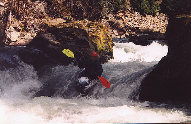
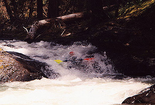
Gabi runs the final drop in the first long boulder garden.
Below here the creek is semi continuous and then you reach a very steep section where the remains of a large landslide came in years ago on the right, narrowing the creek dramatically in a huge jumble of boulders. We eddied out here and Mike scrambled up to the road to scout. After about a half hour he came back. "Ok...looks like left, left, middle, right, center, boof a log, then generally center and then eddy out above the big one." "Um, I'll follow you." I said, not remembering the middle part very well. We dropped into the boulders and ran the first few twisty drops on the left and then eddied out behind a huge boulder. On the left side the creek twisted out of sight through a two foot wide chute between the boulder and the wall of the gorge. Mike was just disappearing through this slot, and it looked horrible. The middle looked much better! "I trust Mike.." I thought to myself as I peeled out of the eddy and dropped through the slot, which turned out to be a slide into a boulder at the bottom of the chute. I slid seven feet and pitoned hard into a boulder at the bottom. Ouch!! "Sorry!" Mike said sheepishly from the eddy. "We were supposed to go middle there.." We continued down and ran the last few hard drops pretty uneventfully.....
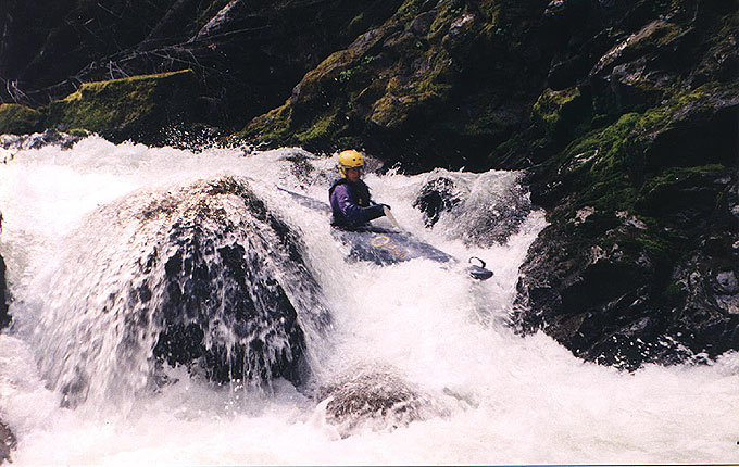
Mike braces hard at the bottom of the gorge in the toughest section
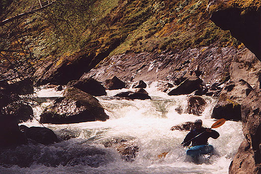
Dustin in the middle part of the gorge.
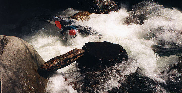
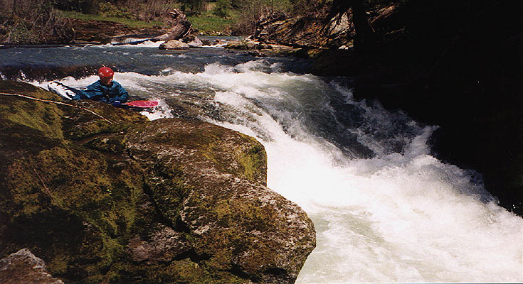
Mike plunges into the first ledge on UV.
The last big drop (Buffy the Vampire Slayer) occurs soon after going under the FS30 bridge. As the stream curves back left, you drop over a small ledge bisected by a large fallen tree. Below here the creek descends over a larger ledge and plunges into a unique dagger-shaped rock that protrudes from the left wall and points upstream at chest level. Most of the water is flowing into this rock, so be careful here as it has pinning potential. This drop surprised Gabi; she was boatscouting the drop and ran into the 'dagger'. Although she missed wedging, she hit the "tip" of the dagger hard on the left side of her chest, fortunately in her PFD. This not only knocked her over but also knocked the breath out of her. A quick roll saved the day.
Mike runs Buffy...
Below Buffy the creek is mellow all the way to Cover Camp.
HAZARDS: The gorge and the four drops mentioned. Careful scouting in the gorge is a must as logs could block any channel. Logs were a problem for the entire run.
ACCESS: After turning off S Umpqua Road, drive up FS 29 for about 12 miles to Cover Camp, the take out. Get back on FS 29. Parallel the creek for about 7 miles, or until you find a good place to put in.
GAUGE: Based on the size and drainage of Jackson Creek, we estimated the flow on the upper section to be about 8-10% of the flow of the South Umpqua at Tiller. An absolute minimum flow would be 1200 cfs at Tiller; 2000 cfs would be a great ride. The flow graph linked here is generated by Pat Welch on his Oregon flows Page. Thanks Pat!